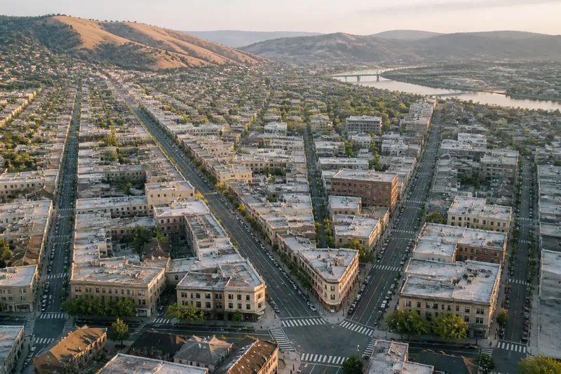
The Boundary Myth: A City Line Does Not Always Mark a Change on the Ground
A city boundary line may cross continuous streets and buildings. Learn how to read the map, spot subtle clues, and tell an administrative edge from a visible one.
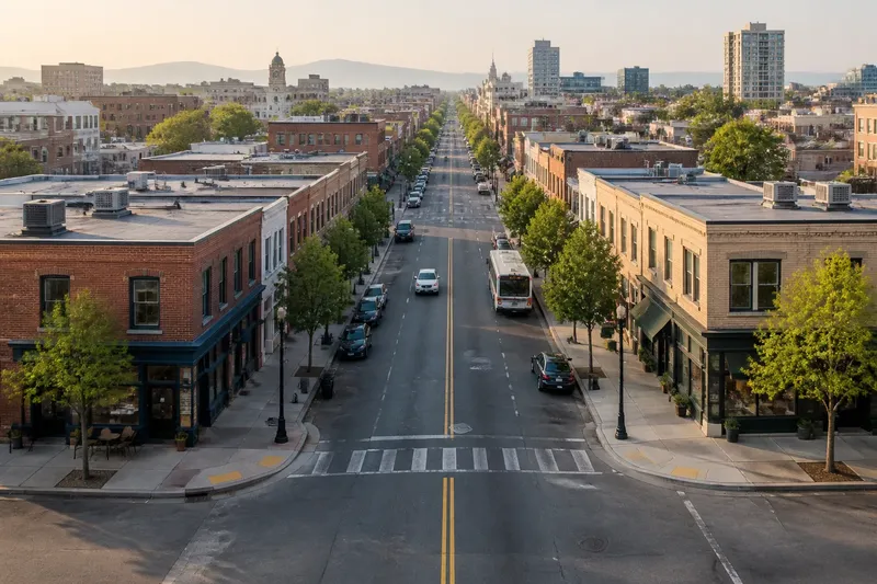
Where does one city end and another begin? A city boundary line can cross a sidewalk, continue down the middle of a street, or pass behind houses without changing what a person sees. The map may show a decisive edge; the ground may offer no cue at all.
That mismatch is not a mapping error. A municipal boundary is an administrative line, while a visible edge is something built or felt in the landscape. They sometimes coincide, but they describe different things. Knowing which kind of line you are looking at makes city maps easier to read—and prevents a tidy border on paper from being mistaken for a sudden change in urban form.
What does a city boundary actually mark?
A city boundary marks the jurisdiction of a municipality: the area for which a particular local government has authority. Depending on local arrangements, that authority can shape services, planning rules, taxes, elections, or maintenance. The boundary is a legal and administrative fact, not necessarily a physical feature.
On a map, the line might follow a riverbank, a road, a property boundary, or an invisible course across several blocks. The choice can reflect how the boundary was established or later adjusted. A line that follows a creek may be easy to locate; one that cuts through a neighborhood may have no corresponding marker on the pavement.
It also helps to distinguish a city’s municipal limit from its urbanized area. The built-up landscape can extend beyond city limits, while land within the municipality can include parks, industrial sites, open ground, or other areas that do not look like a continuous city. The terms “city” and “built-up area” answer different questions.
Why can a boundary cross a continuous street?
Municipal borders are drawn to define responsibility, not to make a dramatic entrance in the landscape. A line can cross an existing street because the street is a convenient or established reference, because the boundary was set independently of the street layout, or because urban growth later filled in land on both sides. In each case, the map line can meet the street without requiring a change in its pavement or design.
A road may even run along the border, with one side in each municipality. The same sidewalks, shopfronts, and building heights can continue across it. Residents may experience the road as one local corridor even while municipal departments treat its two sides differently.
Imagine a neighborhood where a boundary runs through the middle of a block-long avenue. A bus stop, corner store, and row of apartment buildings appear much the same on either side. A map user who checks the municipal layer can see that the avenue crosses jurisdictions; a pedestrian looking only at the storefronts may see no visible transition. Both observations are accurate because they describe separate kinds of evidence.
How can I check where the line runs?
Start with a map that identifies municipal boundaries, not just a general street map. A city or county mapping portal, a planning department map, or a clearly labeled boundary layer in a mapping app can show which jurisdiction contains a particular address. Read the map legend and date where available: a thin line could mean a municipal limit, a neighborhood edge, a service area, or another mapped division.
For an address near a border, compare more than one relevant map. A city boundary map may help identify the municipality, while a parcel map can clarify which side of a property line a building occupies. If you need the answer for a permit, election, tax question, or service request, use the responsible local government’s official source rather than relying on a general navigation app.
On the ground, look for clues, but treat them as clues rather than proof. A change in street name, pavement markings, signs, landscaping, or maintenance can suggest a jurisdictional transition. None is universal: a municipality can share a road with a neighbor, keep the same street name, or maintain only part of a route. A sign may also mark an entry into a district or a speed zone rather than a city limit.
- Check the map legend to confirm the line is a municipal boundary.
- Look for the map’s source and date, especially near a recently developed edge.
- Compare the address with an official city or county boundary map.
- Use parcel information when the line appears to pass close to a building or lot.
- Ask the relevant local office when the answer affects a formal decision.
Does crossing the line change what you see or receive?
It can change which local government is responsible, but the effect is not always visible at the crossing. The municipality may handle or coordinate services such as street upkeep, planning, public records, or local emergency response according to its arrangements. A neighboring city may provide similar services, so a person can move between jurisdictions without noticing an immediate difference in the street scene.
Some changes become apparent only through an ordinary task. An address may direct a resident to a different city office, school district, waste-service provider, or election authority, depending on how those services are organized. Other boundaries, such as school districts or utility service areas, may not match the municipal line at all. A city limit should not be used as a shortcut for answering every “who serves this address?” question.
Regulations can also vary across a municipal boundary, but the map line alone does not tell you which rule applies to a particular activity. Local zoning maps, permit guidance, and agency information are more useful for that purpose. If a decision has legal, safety, or financial consequences, check with the qualified local authority or professional responsible for it.
What questions help distinguish a mapped edge from a visible one?
Can a city boundary run through a neighborhood?
Yes. A municipal limit can pass through a street, block, or larger neighborhood, leaving similar buildings and public spaces on both sides. The official map identifies the jurisdictions even if the landscape does not announce the crossing.
Is the edge of the built-up area the same as the city limit?
Not necessarily. Buildings may continue beyond the municipality, and a municipality may include land that is not part of a continuous built-up area. Check whether a map depicts jurisdiction, development, or another type of boundary before drawing conclusions.
Can a street belong to two cities?
A street that follows a municipal boundary can serve addresses in two jurisdictions, often on opposite sides. Responsibility for the road and its upkeep depends on local arrangements, so the street’s name or appearance cannot settle the question.
Are signs reliable markers of a municipal border?
Some communities post signs near an entrance or boundary, but signs may be absent or placed away from the exact line. They can also identify a district or change in traffic rules, so confirm the feature on an official map.
Why do maps make an invisible edge look so definite?
A map has to make different kinds of information readable in a small space. A colored outline turns a jurisdiction into a crisp visual object, even when the real boundary passes through an ordinary street scene. That clarity is useful for locating responsibility, but it can suggest a physical separation the map never intended to claim.
Scale adds another wrinkle. On a citywide map, a line may appear to run beside a road; zooming in can reveal that it crosses the road or follows a nearby parcel boundary. Digital maps may also simplify or slightly offset lines so they remain visible over streets and buildings. For a broad geographic overview, that can be practical. For a precise address decision, consult the authoritative local map or office.
Map labels can blur distinctions, too. A label such as “city boundary” describes jurisdiction; a boundary drawn around a named district could instead indicate a planning area, neighborhood, or service zone. The legend and map source tell you what the line means, while the street scene tells you what forms and activities are physically present.
How should I read a border walk?
Think of a walk across a municipal line as a way to notice continuity as well as change. Buildings may keep the same height, shopfronts may face the same avenue, and a sidewalk may carry on without a seam. Those observations show that urban form does not have to stop where administrative authority changes.
At the same time, look for small differences without assuming their cause. A change in street trees might reflect a planting program, a property owner, a construction project, or a local policy. A new sign could mark a speed limit rather than the city line. The map can help identify where jurisdictions meet, but explaining a visible difference may require checking other layers or asking the agencies involved.
For the question “Which city is this address in?”, the municipal map is the right starting point. For “Why does this block look different?”, examine the landscape and relevant planning or service maps instead. A city boundary line can answer the first question while remaining invisible to anyone walking the street. That is the useful distinction: read the jurisdiction from its source, and read the urban edge from the ground.